Quake Watch 2010
06.08.2010 um 12:42Indonesian Archipelago
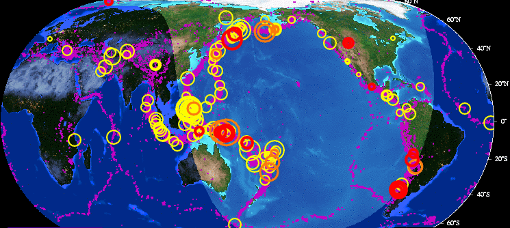
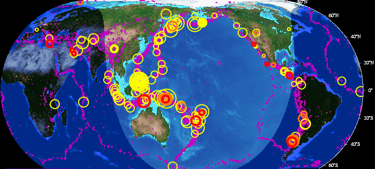
http://hisz.rsoe.hu/alertmap/index2.php
EDIS Number: EQ-20100806-184598-ID Common Alerting Protocol
Magnitude: 5.6
Mercalli scale: 6
Date-Time [UTC]: 06 August, 2010 at 08:58:39 UTC
Local Date/Time: Friday, August 06, 2010 at 08:58 in the moorning at epicenter
Location: 7° 24.600, 128° 30.600
Depth: 60 km (37.28 miles)
Region: Indonesian Archipelago
Country: Indonesia
Distances: 3,142 km (1.86 miles) of Muncar, East Java
Source: RSOE-EMSC
Generated Tsunami: Not or no data!
Damage: Not or not data!
Additional information (Radius of 100 km)
Nuclear facilities: There are no nuclear facilities nearby the epicenter.
Airport(s): There are no airport(s) nearby the epicenter.
Volcanoes:
Location Volcano Type Last eruption Distance
Banda Sea Teon Stratovolcano 54.03 km
Banda Sea Wurlali Stratovolcano 22.69 km
The potential impact of the earthquake
Everyone feels movement. People have trouble walking. Objects fall from shelves. Pictures fall off walls. Furniture moves. Plaster in walls might crack. Trees and bushes shake. Damage is slight in poorly built buildings. No structural damage.